
“Hidden” is an imperfect word for Lefkada’s beaches. The three choices below are not secret, empty or guaranteed to be quiet. They offer different alternatives to Lefkada’s headline beaches. Choose according to the drive, access and facilities that suit your group, and check current conditions before setting out.
This guide compares Gialos Beach near Athani, Kavalikefta Beach below Kalamitsi and Ammoussa Beach east of Vasiliki. Current map estimates start from Villas Katsiki’s approach point and are planning guides only: summer traffic, road works, weather and the final approach can change both timing and access.
Choose the Right Quieter Beach Day
- Gialos: the most route-efficient west-coast option in this shortlist, suited to guests who want a broad coastal stop without committing to the longer drive north.
- Kavalikefta: the longer, more deliberate west-coast outing, best for confident drivers who are prepared to reassess the final approach and parking on the day.
- Ammoussa: a south-east-coast alternative for guests who prefer to combine a swim with Vasiliki or the Kontarena side of the island.
Choose by conditions, not by a promise of solitude. If straightforward planning, established access or a dedicated destination guide matters more, compare Porto Katsiki, Egremni, Agiofili, Kathisma and Milos before deciding.
Gialos Beach Near Athani
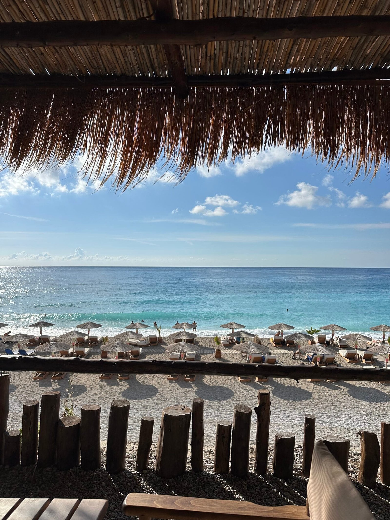
Gialos lies below Athani on Lefkada’s west coast. The Municipality of Lefkada’s Dragano–Athani information identifies the branch from Athani towards Gialos, Egremni and Porto Katsiki and describes this coast beneath high cliffs. From the villa approach, the current Google Maps route to Gialos is approximately 12.8 km and 27 minutes. Treat that as a comparison estimate, not a guaranteed journey time.
Gialos suits guests who want a west-coast beach day relatively close to Athani and who are willing to arrive self-sufficient. The municipal page confirms the destination and coastal setting, but it does not provide dependable current parking capacity, on-site service, shade or accessibility information. Check the final road and parking situation locally, carry water and food, and be ready to change plans rather than block a narrow approach or rely on an unverified facility.
The municipality describes this part of the coast as sandy, but beach surfaces and the waterline can change. Secure footwear is useful for hot ground, rough edges and the walk between the car and shore. West-coast waves and swell can also change quickly; a quieter appearance from the road is not evidence that entering the sea is sensible. Guests wanting a more fully documented west-coast outing may prefer the dedicated Porto Katsiki or Egremni guides.
Kavalikefta Beach Below Kalamitsi
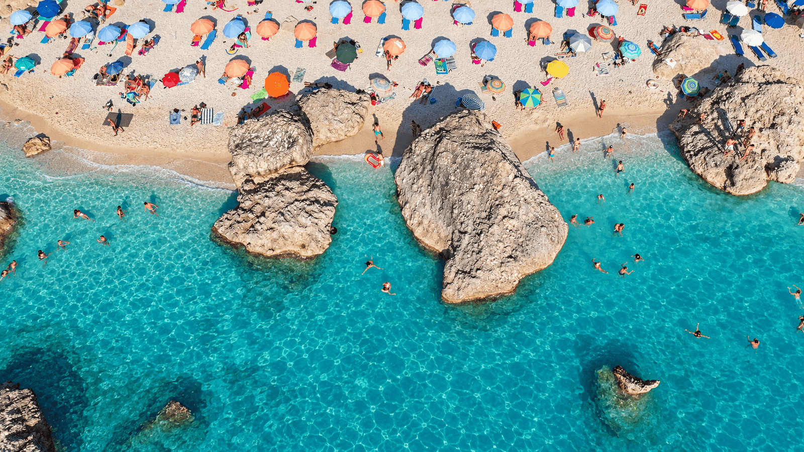
Kavalikefta is on the west coast below Kalamitsi. The Municipality of Lefkada’s Kalamitsi page confirms that three beaches lie below the mountain village, while the current Google Maps route to Kavalikefta identifies the exact destination. The mapped journey is approximately 27.3 km and 51 minutes by the shorter suggested route, with a longer alternative also shown. Neither route time nor the final approach should be treated as fixed.
This is the choice for guests who deliberately want a smaller Kalamitsi-side beach and are comfortable making a longer drive part of the day. It is not the right option when anyone in the group needs predictable, low-effort access. The official municipal description does not verify current parking arrangements, final walking requirements, facilities or seasonal services at Kavalikefta itself. Confirm conditions locally before descending and keep a simple turnaround plan if the approach or parking is unsuitable.
Wear secure footwear and carry all essential supplies. The municipality describes the beaches below Kalamitsi as sandy, but local stones, rock and changing shore conditions can still affect both walking and water entry. This coast is exposed to Ionian weather and swell. For a west-coast day with a more established planning framework, Kathisma or Milos may be the better choice.
Ammoussa Beach Near Kontarena and Vasiliki
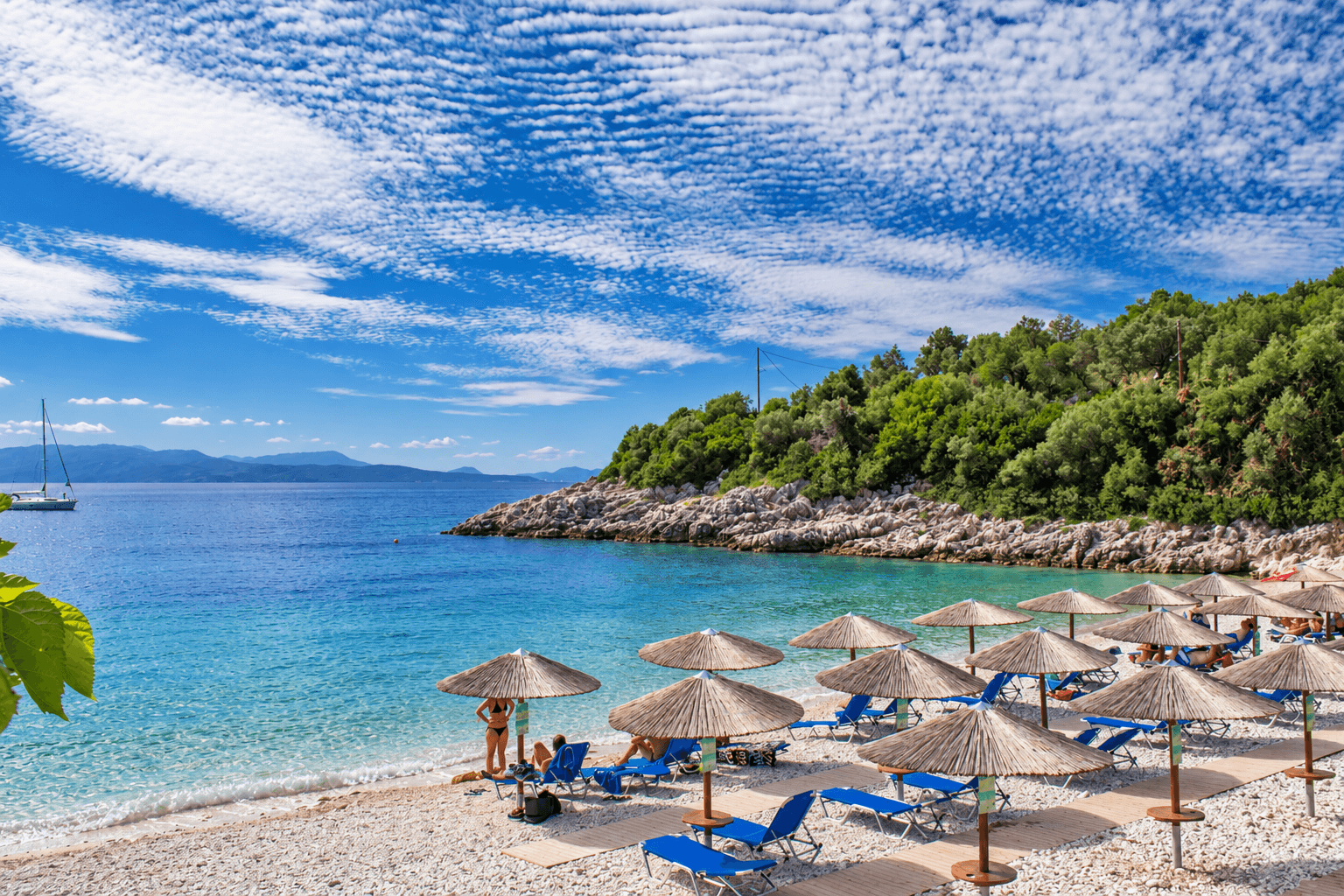
Ammoussa—also shown as Ammouso on some sources—lies on the south-east side of Lefkada beyond Vasiliki. The Municipality of Lefkada’s Kontarena page names Ammouso on the island’s eastern coast after Vasiliki. From the villa approach, the current Google Maps route to Ammoussa is approximately 24 km and 42 minutes. Daily traffic and the final local roads can alter that estimate.
Ammoussa is the practical alternative for guests already planning time around Vasiliki or the Kontarena side of the island. Its east-facing setting creates a different day from the exposed west-coast stops, but the municipality’s general description of usually calmer eastern beaches is not a guarantee for the hour you visit. Check the actual sea, wind and local advice before swimming.
Current authoritative sources do not establish dependable parking availability, seasonal food service, shade, toilets, lifeguard coverage or step-free access. Bring water, sun protection and secure footwear, and treat any open service as a welcome extra rather than part of the plan. If the priority is a beach with a full dedicated access guide from the Vasiliki side, Agiofili may be easier to research in advance.
Access and Preparation
- Check the whole route before departure. A map pin confirms a destination, not the condition, width or availability of the final road and parking area.
- Carry your own essentials. Water, food, sun protection, a charged phone and secure footwear should not depend on a seasonal business being open.
- Keep the car flexible. Do not force a difficult descent, park where access is blocked or continue when there is no safe place to turn around.
- Plan for limited shade. Natural shade moves and organised shade is not guaranteed at any of these stops.
- Expect a more independent day. Guests who need reliably documented facilities or easier access should choose an established beach with current local confirmation.
The Lefkada west-coast road-trip guide helps with route structure, while the Lefkada travel-safety guide covers broader preparation. For timing principles rather than crowd promises, see the Porto Katsiki timing guide.
Conditions and Safety
Check the Hellenic National Meteorological Service forecast and its sea-region warnings before leaving, then reassess conditions at the beach. Wind, swell, heat and visibility can change during the day. Never infer safe swimming from a clear sky, a quiet car park or another person already being in the water.
During hot weather, follow Greek Civil Protection heat guidance. For an emergency in Greece, call 112; the official 112 service page explains the national emergency system. Mobile reception and precise location sharing can be less predictable below cliffs, so tell someone your destination and avoid relying on a phone as the only safety plan.
A Flexible Choice, Not a Secret Pin
Gialos, Kavalikefta and Ammoussa offer three genuinely different ways to plan a less-developed Lefkada beach day. Their appeal comes with uncertainty: the final approach, parking, facilities and sea conditions must be checked at the time. Choose the option that fits your route and group, leave room to turn back, and use the Lefkada Travel Guide to compare a more established alternative before departure.